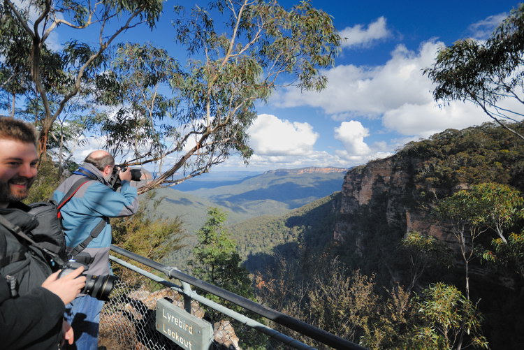
OK I tried the walk today. It took me two hours, without side trips and with minimal photography - just a few happy snaps, mainly to try out my new
Camera strap - Love it.
The route I took was Conservation Hut - Overcliff Walk - Undercliff Walk - Falls - Rocket Point - Flat Rock
I know Flat Rock as Queen Elizabeth Lookout, but there is a new sign there saying Flat Rock, so I will go with that.
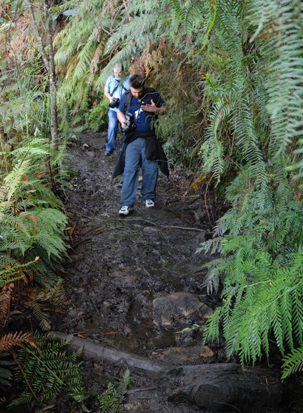
The track was very wet in places (read boggy creek bed) but quite navigable. Also there was a sign at the Conservation Hut I noticed when I got back saying that the Undercliff track was closed for maintenance, but I saw no signs saying "Track Closed" on the track itself & while there was evidence of work being carried out, I had no problems navigating it.
There are plenty of side tracks that could be taken, even down to the bottom of the falls if you want, but there are a LOT of steps in that one & I am not sure my knees are up to it.
I recorded the journey using my Holux GPSr. Here is the track (zipped kml file)
http://www.swtd.com.au/images/GJK/DSLRUserWalkProposed.kml.zipIt seems to have done a reasonable job given the fact that at times I was walking hard up against a cliff and even under it in places. Though I note it has me abseiling off the cliff in a few places

Be prepared for any weather. It is hailing as I type this, but it got quite hot earlier while on the walk.
I will leave the truck at the end of the walk in the morning and meet you all at the beginning about 12:30 as proposed.
To get to the start of the walk, turn off the highway at Falls Rd (signposted to the Falls) then turn right into Fletcher St, and follow that to the end. Then backtrack until you find parking. There are only 25 official spaces in the carpark & even today they were all gone when I went down. I was lucky. One pulled out just as I arrived.
If you want to leave anything in the truck for the end, let me know. I am sure we can organise it.
 ).
).


